
Label the World: High-Precision Annotation
for Critical Infrastructure Projects
Smarter Infrastructure Starts With Precise, AI-Ready Data
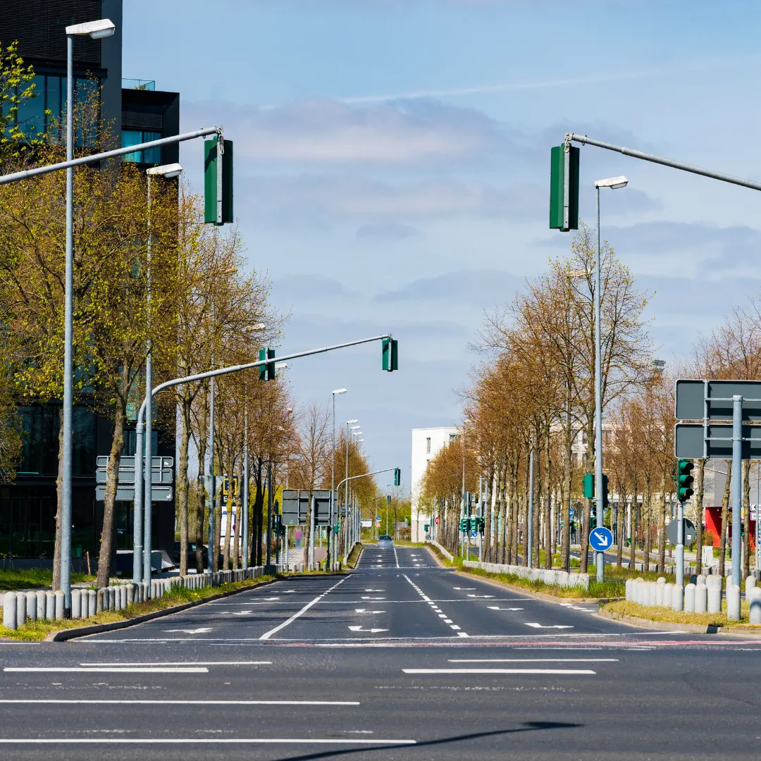
The future of cities, roads, and transportation is built on data. At Geospatial Solutions, we transform raw imagery into powerful, AI-ready datasets — enabling smarter, safer infrastructure decisions.
AI-Ready Data Outputs
Enterprise-Grade Accuracy (98%+)
Deep Industry Experience
Scalable for Global Projects
Start Your High-Precision Annotation Project Today
No spam. Your contact info is never shared.
What We Annotate
-
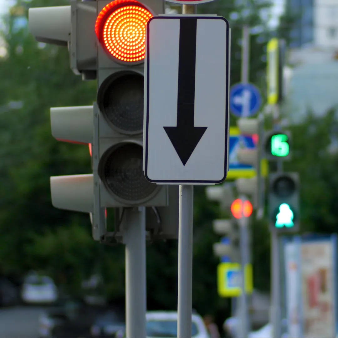
Traffic & Regulatory Signs
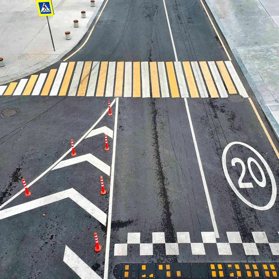
Road Markings & Lane Delineations

Bridges, Poles, and Civil Structures
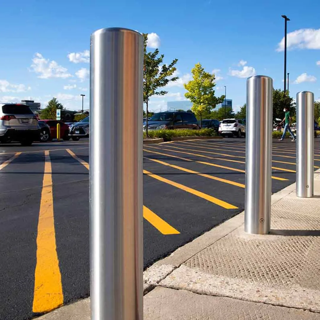
Guardrails, Streetlights, Bollards
Traffic & Regulatory Signs
Road Markings & Lane Delineations
Bridges, Poles,
and Civil Structures
Guardrails, Streetlights, Bollards

Street Furniture
(Benches, bus shelters, newspaper kiosks)
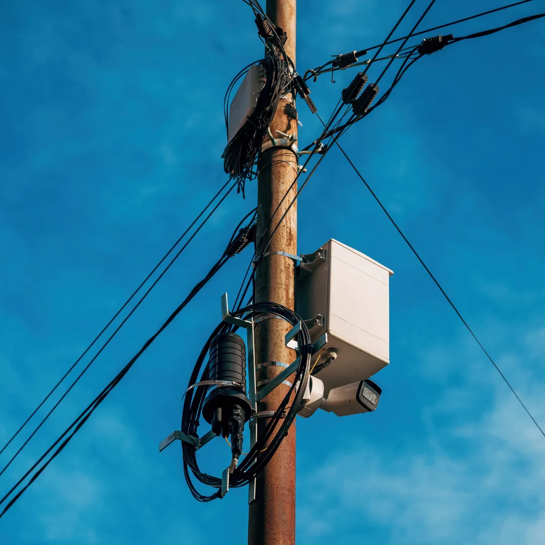
Public Utilities
(Utility poles, transformers, manholes)
Street Lighting
(Lamp posts, traffic beacons, crosswalk lights)
What Our Client Says
-
They delivered what others said wasn’t possible.
"Their integration of Survey123 + Power Automate saved us weeks in the field and prevented major permitting delays."
- Director of Engineering,
Solar EPC

Our QA issues dropped 70% after rollout.
"Forms are smarter. Data is cleaner. Dashboards update instantly."
- Asset Ops Manager,
Utility Firm
They work like an extension of our team.
"Fast turnaround, deep GIS expertise, and automation that just works."
- Regional Compliance Lead
Frequently Asked Questions
How quickly can you start??
We can annotate a pilot dataset in 2–4 business days. Larger projects begin within a week.
Can you match our labeling standards
Yes. We build SOPs, tagging guides, and QA rules based on your requirements.
Do you support CVAT, Labelbox, or custom tools?
Yes. We’re platform-agnostic and can work directly in your tool or export to your specs.
Can you handle large volumes?
Absolutely. We scale up teams to handle hundreds of miles or thousands of images quickly.
Do we need to pre-process the data?
Not at all. We accept raw images, drone footage, or GIS exports — and can align everything internally.
What if we need object detection too?
We offer object detection pre-labeling models that can accelerate your annotation workflow.
Is the audit and pilot really free?
Yes. We invest upfront so you can validate our quality and speed — risk-free.